
Property risk intelligence from aerial imagery
How roof, vegetation, pool, and solar attributes support quoting, renewal, and claims.
Read report
Six briefings on property risk, urban change, roads, land cover, disaster response, and data quality, drawn from Mapizy’s platform and use cases.
Roof condition, pools, solar, trees, and nearby bushland can be read from current aerial imagery so insurers can quote, renew, and assess claims without waiting for a site visit.
Read the reportProperty & insurance Urban change Road assets Land cover Disaster response Data quality
How roof, vegetation, pool, and solar attributes support quoting, renewal, and claims.
Read report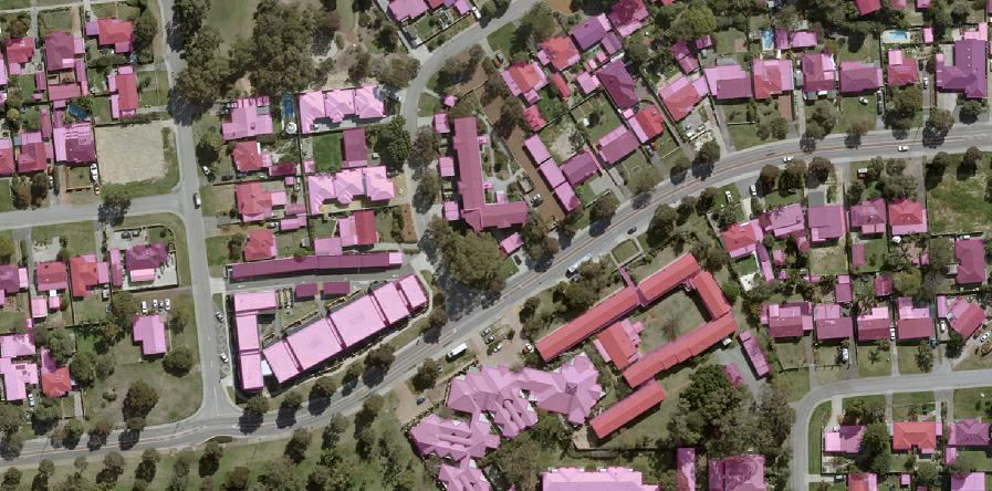
Why current building footprints and change maps matter for compliance, valuation, and disaster review.
Read report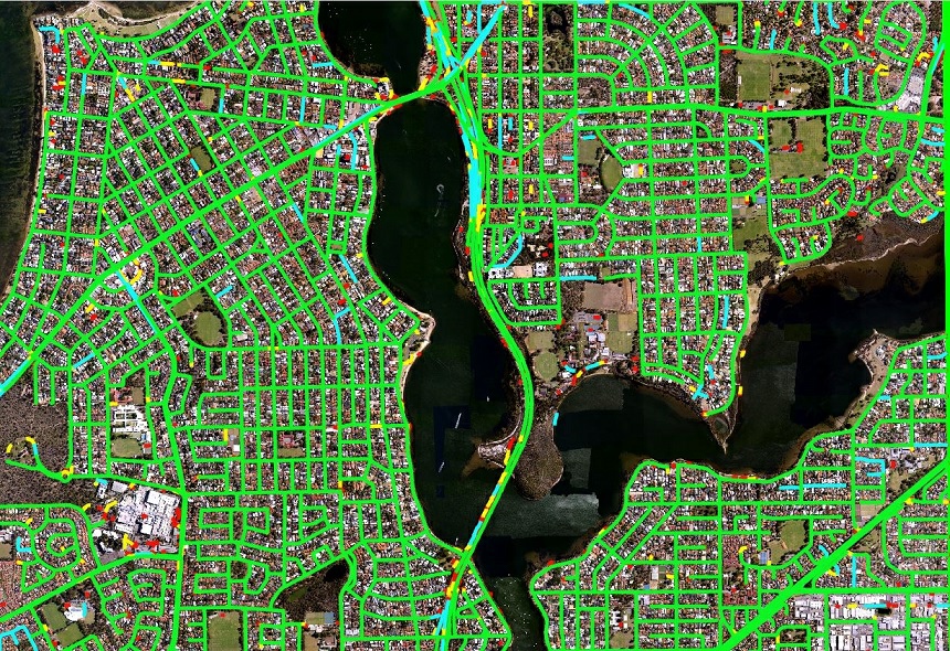
Road surface and safety features from aerial and satellite imagery for asset monitoring.
Read report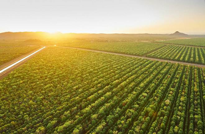
Forest inventory plus GIS-ready layers for trees, turf, water, structures, and bare ground.
Read report
Pre- and post-event analytics so claims and response teams can see what changed.
Read report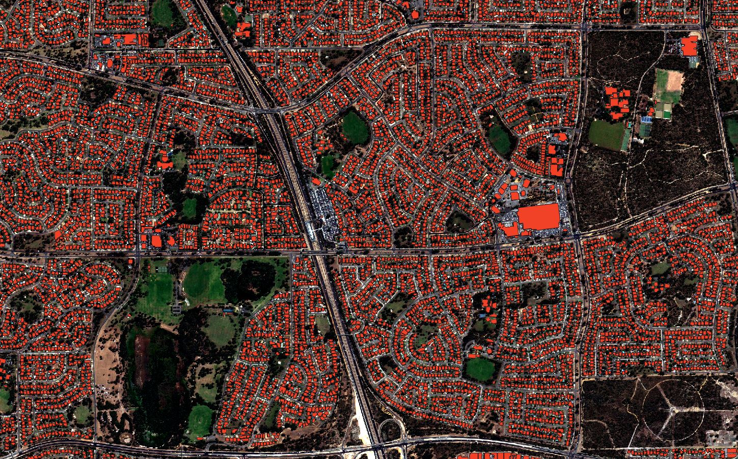
Four questions on currency, coverage, fitness, and delivery before you buy a dataset.
Read report