Find answers to business questions
with AI and geospatial insights
Effective management of infrastructures requires current and reliable data about their physical attributes and conditions. Leveraging multi-source image data, AI and cloud computing, we provide current data and change insight about various types of infrastructures ranging from road networks and buildings through to energy assets and supply chain.

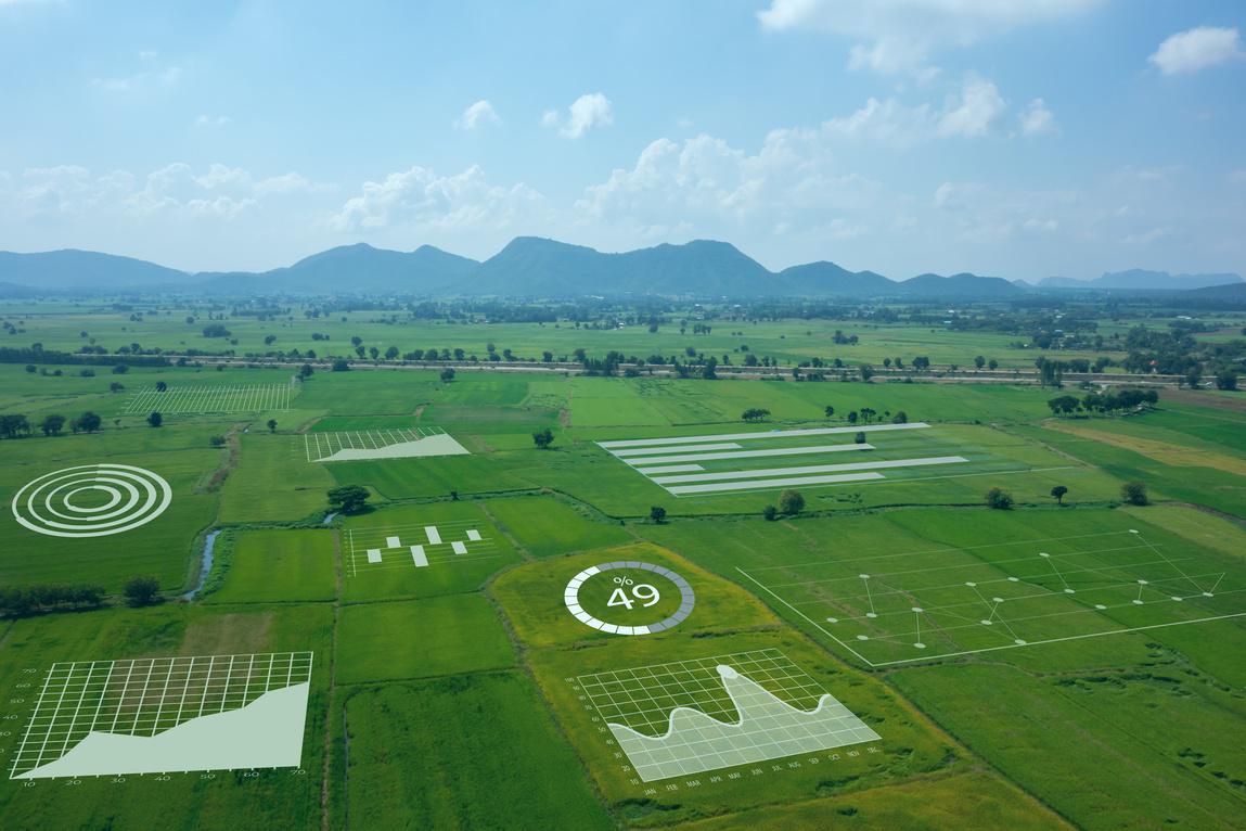
A detailed and current inventory of natural resources is the basis for informed management decision making. Mapizy provides forestry and agriculture businesses with HD analytics helping them to optimise fertiliser and herbicide usage, reduce carbon emissions and increase profitability.
What is so fascinating about what Mapizy is doing is that they empower organisations with cutting edge computer vision solutions. They helped us to adopt the powerful AI for optimising pest control in the grain industry at no risk.
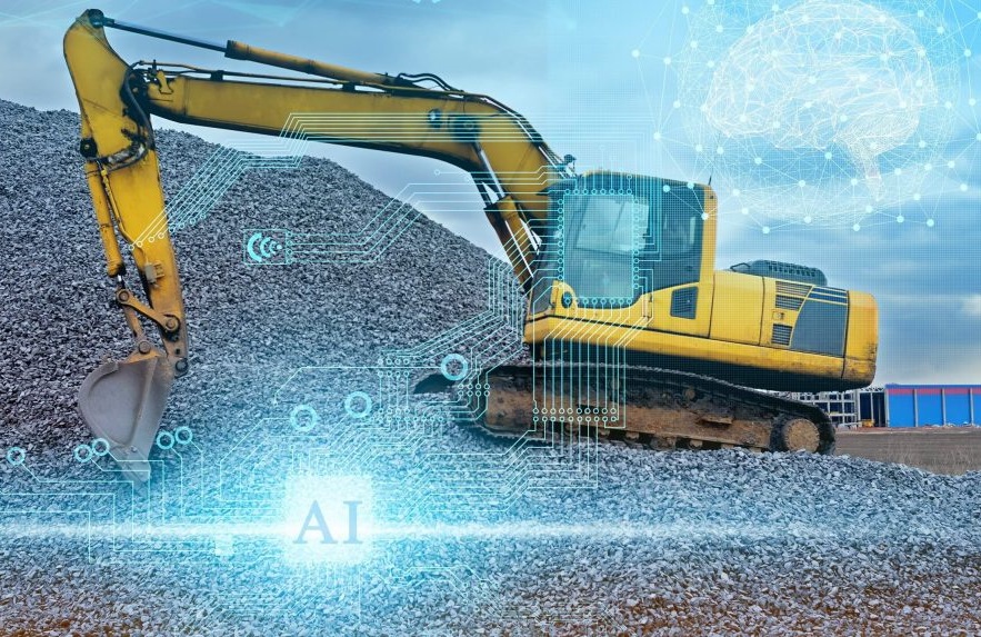
AI and big earth observation data has created new opportunities for the mining industry. Use our analytics platform to create geospatial analytics and change data about natural features, man-made structures, mining equipment etc. for remote areas at the comfort of your office.

Our integrated training data collection platform coupled with deep learning workflows provide the defence sector with interesting use cases ranging from quick mobility assessment, low-cost object detection models through to off-nadir image analysis, anomaly detection and multi-source image data fusion.
We were involved in a global infrastructure project and Mapizy technology and support was instrumental to quantify changes and measure the project impact. Rapid delivery and detail analytics they offered was second to none.
We have worked with clients across industries to build computer vision software solutions that help them solve difficult challenges and achieve their business objectives.
Mapizy team with deep expertise in artificial intelligence helped us to create advanced geospatial analytics about trees and their flowers. This information was critical to make informed decisions in honey production.
Provide project area, analytics type and your own data if available.
We source the right data and apply customised processing workflows.
Maps, statistical information and geospatial analysis will be provided.