
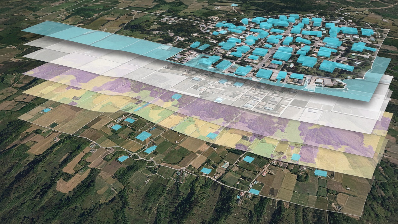
A single property can be read from imagery in one pass. A book of properties needs the same attributes on every row. The Analytics Engine runs that work for a large set together, then leaves the results open to inspect and export.
Property Analytics creates geospatial attributes for a land parcel, its buildings, and the surrounding environment, and it can measure what changed over a time interval. The Analytics Engine is the tool that speeds that workflow when the list is long. Reports and exports sit at the end of the run.
Key takeaways
Many properties
The engine is built for a large number of properties in one go, not one address at a time.
Parcel and building
The attributes cover the parcel, the buildings, and the surroundings, including change over an interval.
Inspect first
The environment is interactive, so a result can be checked before it leaves the platform.
Export
Reports and data exports are part of the same workflow.
Methodology
Bring the list
Start from the properties that need the same set of attributes.
Run the batch
Generate the analytics together, including change across the chosen interval.
Inspect and export
Review the rows in the platform, then export the report or the data.
Practical applications
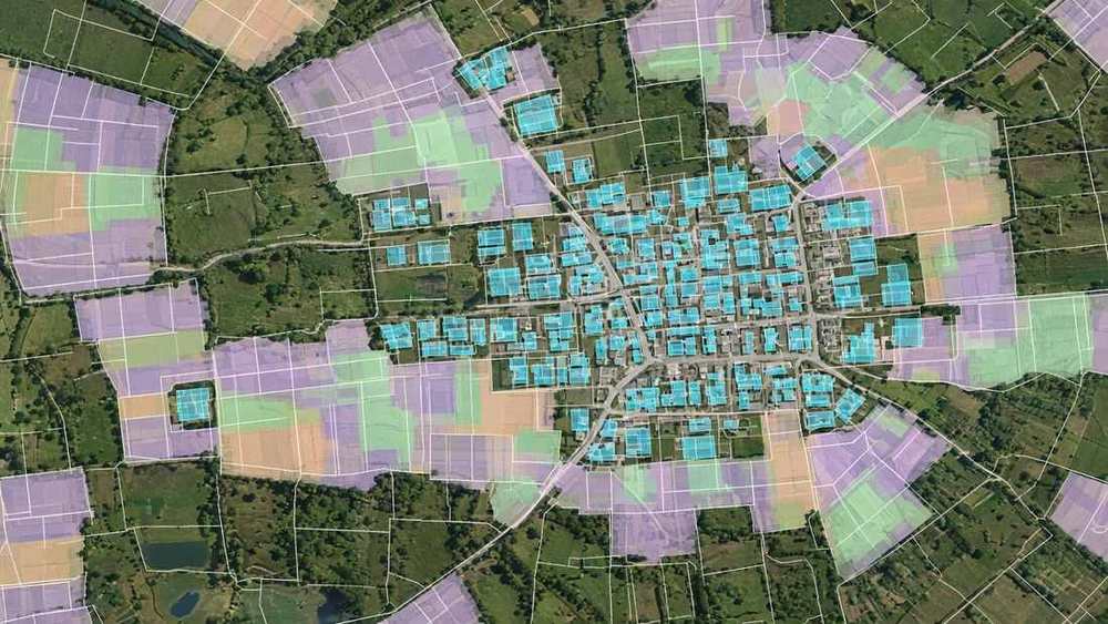
Insurers, valuers, and councils can keep one attribute set across a book of parcels instead of opening each address. See the Analytics Engine, Property Analytics, and the briefing on property risk.
Batch generation, inspection, and export are taken from the published Analytics Engine and Property Analytics descriptions. This report does not state a parcel limit or a processing time. The attributes are only as current as the imagery behind them. Diagrams are conceptual.
Related reports
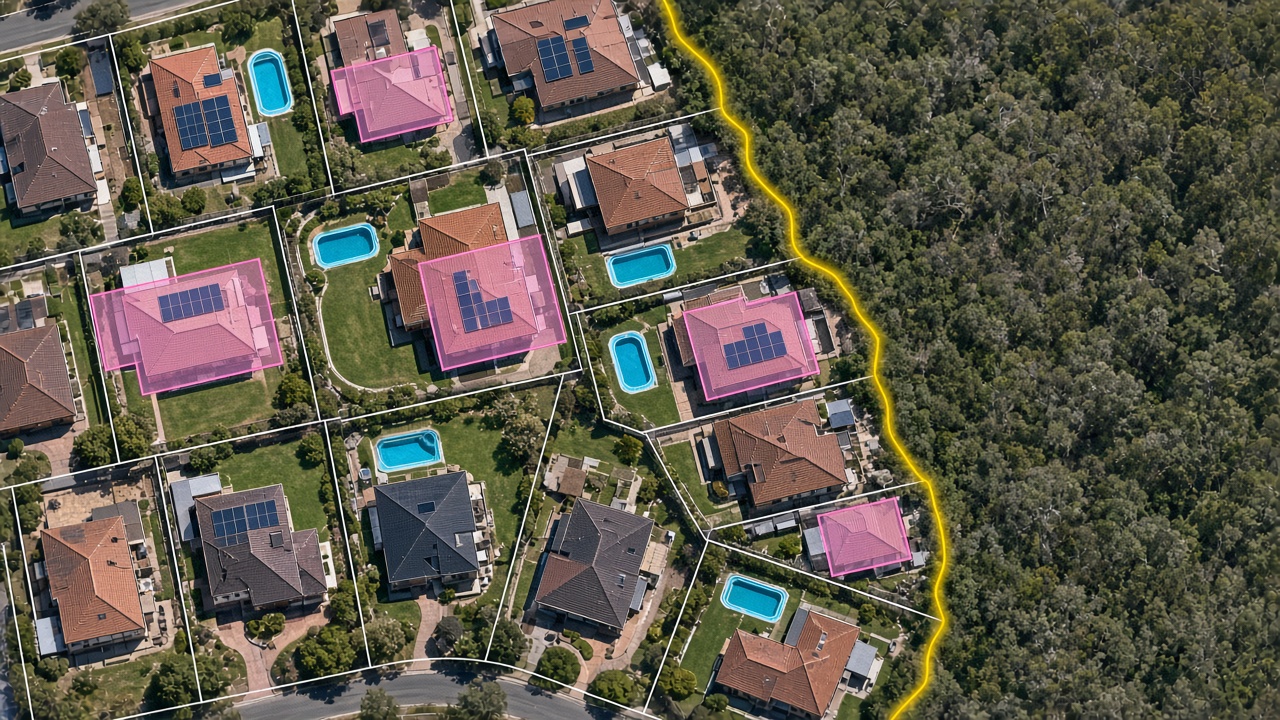
Property risk intelligence from aerial imagery
Roof, vegetation, pool, and solar attributes for quoting, renewal, and claims.
Read report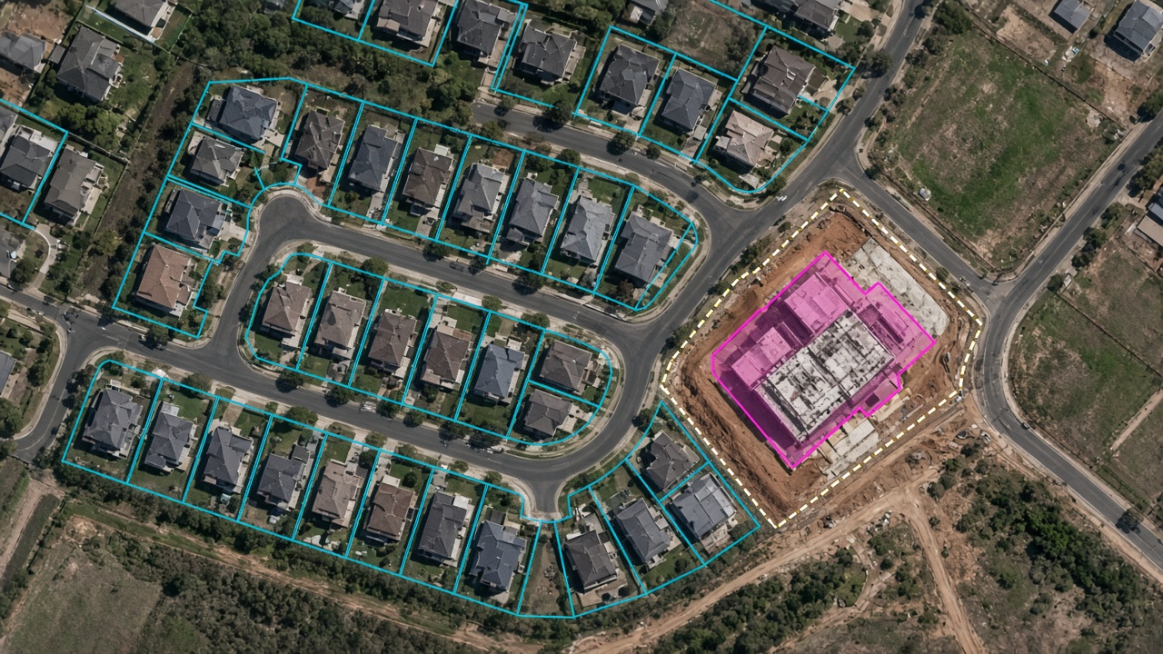
Detecting building and urban change with GeoAI
Current footprints and change maps for compliance, valuation, and disaster review.
Read report
Vegetation encroachment on power lines
Flag vegetation near a line, and leaks or blockages, before a full patrol.
Read reportRun a book of properties
Request a demo to see a batch of parcel, building, and change attributes, then an export.
Request a demo