Understand risk better with
remote geospatial intelligence
Our AI-derived property attributes and risk insights help insurance carriers to make smarter decisions faster in several processes in the policy lifecycle.
High granularity of data is created using 5cm aerial images for 80% of the Australian urban environment. Properties in remote areas are covered by high resolution satellite images.
Our geospatial analytics are created using the latest images with 3-month currency so it is the most up-to-date in the market.

Accurate Underwriting & Instant Quoting
Learn more

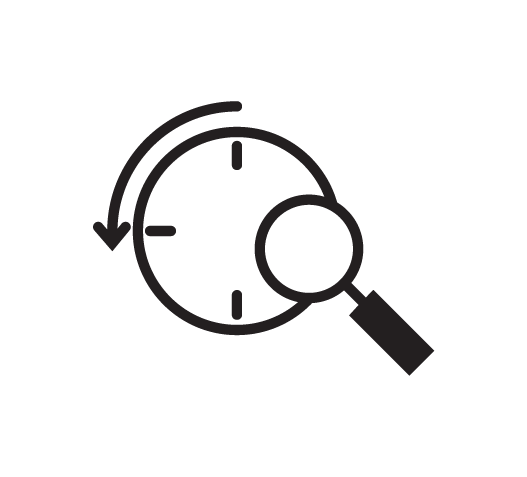
Automated Renewal Process
Learn more

Effective Claim Management
Learn more
Macroscale geospatial analytics has a high level of detail similar to what we offer for properties and cover large areas such as LGAs, suburbs and AOI or target a set of properties.
This data provides insights into changes to property conditions and the surrounding environment in user-defined areas in 3-6 months timespan.
Users can choose a set of geospatial filters available on Urban Analytic platform to find certain properties.
Let us know about your risk appetite and set thresholds accordingly. We will monitor your portfolio and notify you when a property surpasses the thresholds. Some example risks are distance to bushland, tree overhang and degraded roof quality.
Use our platform to find new properties that match your criteria, an example would be to search for properties with solar and pool, no tree overhang risk, roof quality of high score and low bushfire risk.
Export the mailing addresses and contact info of those properties and plan your marketing.
Knowing the status of your portfolio informs better planning. We quantify what and how much has changed in your portfolio in 3-6 months timespan in seconds.
Some examples analytics are:
What percentage of your portfolio has high bushfire and tree overhang risk? or what percentage has added a pool? How many properties are close to water bodies?
Our Urban Analytics platform helps you find answers to a variety of questions you may have about your portfolio.

Our platform unlocks the value of geospatial data for real estate businesses. Gain access to the most up-to-date and detailed data at both land parcel and suburb level and make informed investment decisions.
Our unique property and urban insights help you find high-growth suburbs, estimate value of properties, uncover new investment opportunities and predict market trends.
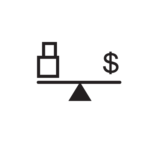
Unbiased Valuation
Learn more
Know Properties Better
Learn more
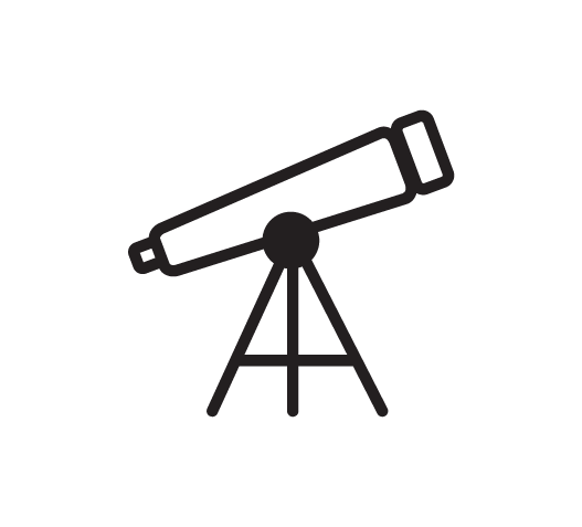
See The Bigger Picture
Learn more

Smart Investment Decisions
Learn more