
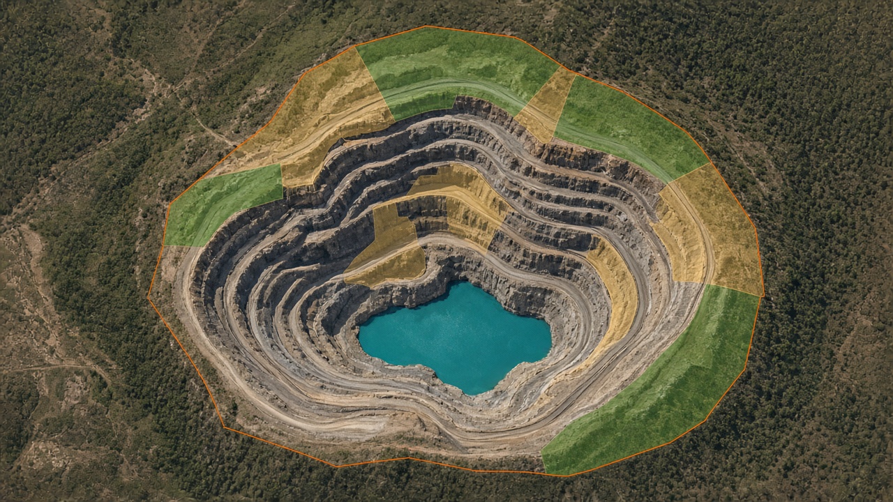
Rehabilitation progress is easier to manage when vegetation, landform, and disturbance can be tracked from current satellite imagery instead of waiting for the next site visit.
Remote sensing is increasingly used to assess mine-site rehabilitation. Mapizy’s published use case applies machine learning to Pleiades imagery for that assessment. Mining and energy solutions also describe remote tracking of rehab parameters, environmental-impact quantification, and more regular carbon-footprint monitoring, including sources and sinks.
Key takeaways
Pleiades imagery
The documented rehab assessment uses high-resolution Pleiades scenes rather than only coarse regional composites.
Rehab parameters
Mining solutions list remote tracking of rehabilitation parameters and environmental impact as core outputs.
Office-based review
Analytics for natural features, structures, and equipment are positioned so remote sites can be reviewed without a field campaign for every question.
Carbon context
The same mining brief covers identifying carbon sources and sinks on a more regular cycle.
Methodology
Acquire current scenes
Use high-resolution satellite such as Pleiades so rehab surfaces, vegetation, and disturbance are visible at site scale.
Measure rehab signals
Apply machine learning to extract rehabilitation parameters and related land-cover change from those scenes.
Compare epochs
Repeat the read so vegetation return, disturbance, and environmental impact can be tracked between visits.

Practical applications
Mining teams can use repeated satellite reads to track rehab progress, environmental impact, and related land-cover change. See the mine-rehabilitation use case, mining solutions, and land-cover monitoring.
Pleiades-based rehab assessment, remote tracking of rehab parameters, and carbon-source/sink monitoring are taken from Mapizy’s published use-case and solutions pages. This report does not assign compliance scores or accuracy percentages. Cloud cover and image date still bound what can be seen. Diagrams are conceptual.
Related reports
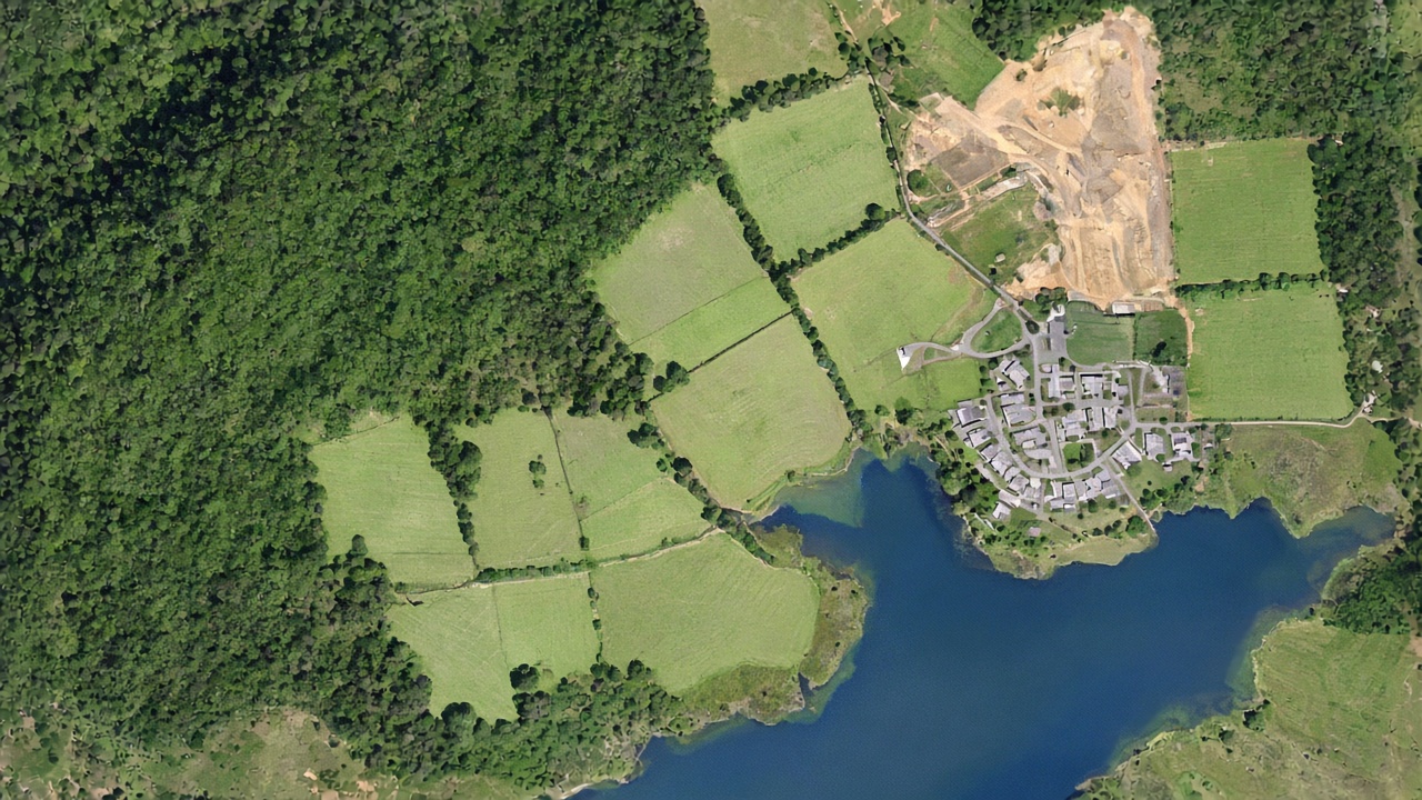
Monitoring forests and land cover at scale
Forest inventory plus GIS-ready layers for trees, turf, water, structures, and bare ground.
Read report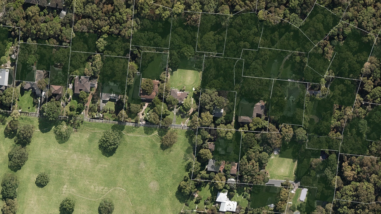
Urban tree canopy and green-space monitoring
Quarterly tree and turf coverage at property and suburb level for green-space policy.
Read report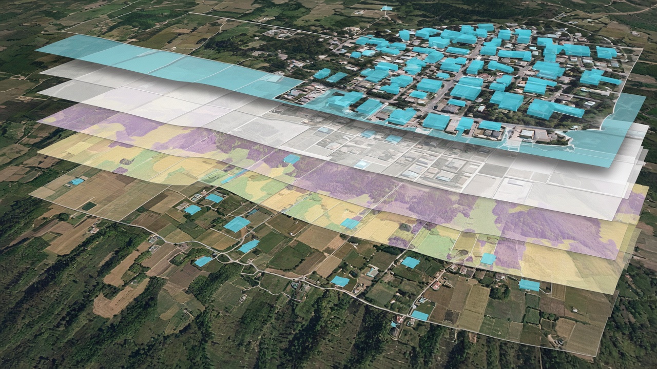
A practical framework for evaluating geospatial data quality
Four questions on currency, coverage, fitness, and delivery before you buy a dataset.
Read reportReview rehab monitoring on a site
Request a demo to inspect satellite-derived rehabilitation parameters on an agreed mining area.
Request a demo