
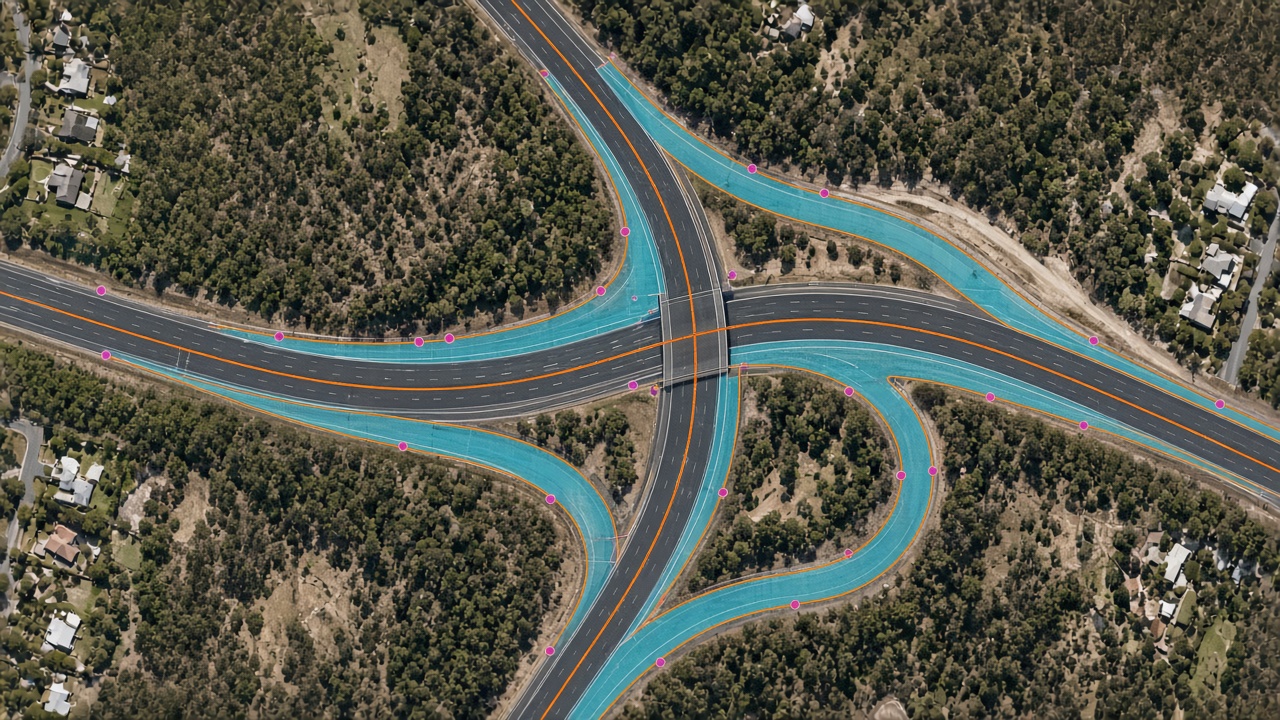
A line crew cannot walk every span on the same day the canopy grows into it. Imagery can flag vegetation that has moved toward a power line, and the same approach can flag water leaks and blockages, so the visit goes to the span that needs it.
Mapizy’s infrastructure work uses multi-source imagery to keep a current picture of physical assets. Published computer-vision uses include vegetation encroachment on power lines, and water leaks and blockages in satellite images. Road surface and roadside safety features are a separate briefing.
Key takeaways
Power lines
The question is whether vegetation has grown into the clearance around the line.
Encroachment
Computer vision marks vegetation that has moved toward the asset, so a crew is not sent to every span.
Leaks and blockages
Satellite imagery is also used to identify leaks and blockages along water assets.
After the flag
The image result is a shortlist. A field check still confirms the span before work is booked.
Methodology
Take the corridor
Use current aerial or satellite imagery along the line or pipe, not a single snapshot of one pole.
Mark what has closed in
Detect vegetation that encroaches on the power line, or a leak or blockage on a water asset.
Send the crew
Hand the shortlist to the team that maintains the asset. The image does not replace the site check.
Practical applications
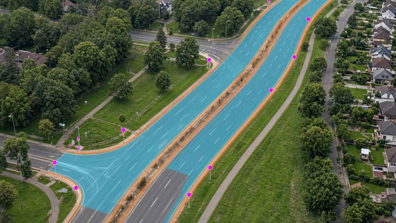
Network operators can use the shortlist to plan vegetation management and to look for leaks or blockages before a full patrol. See infrastructure solutions and the briefing on road imagery.
Vegetation encroachment on power lines, and water leaks and blockages in satellite images, are taken from Mapizy’s published infrastructure page. This report does not assign clearance distances or detection rates. Cloud, canopy season, and the age of the scene still change what can be seen. Diagrams are conceptual.
Related reports
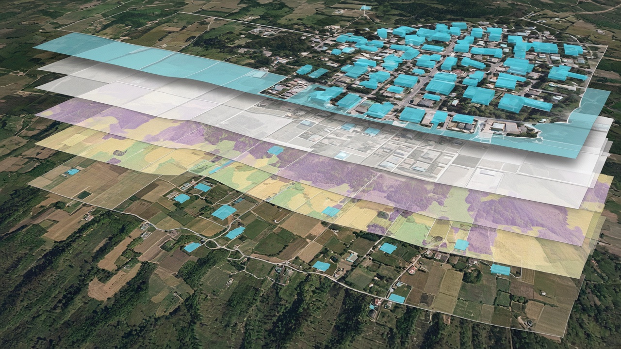
Property analytics in one batch
The Analytics Engine runs many properties together, then leaves the results open to inspect and export.
Read report
Turning road imagery into actionable asset insights
Road surface and safety features from aerial and satellite imagery.
Read report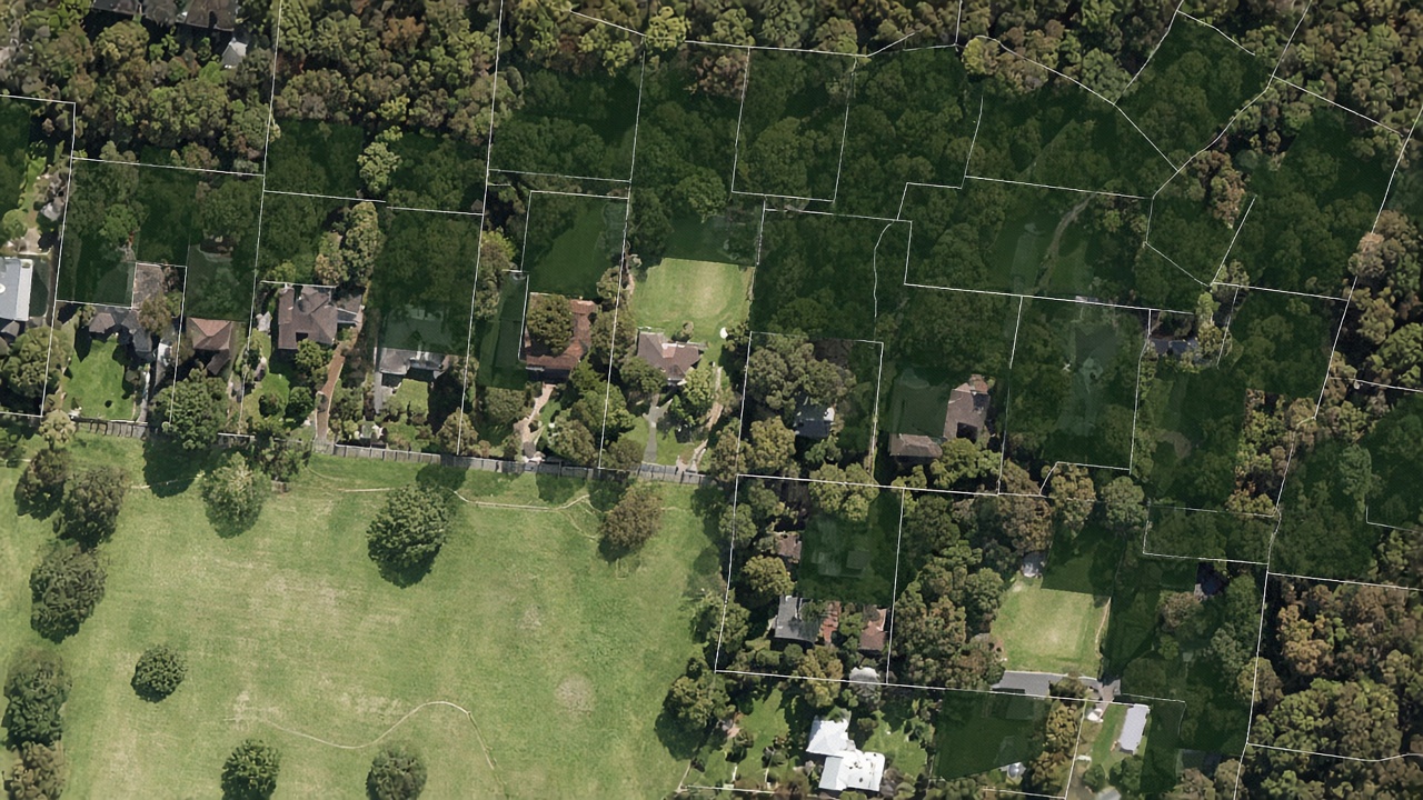
Urban tree canopy and green-space monitoring
Tree and turf coverage at property and suburb level.
Read reportReview a corridor from imagery
Request a demo to discuss vegetation encroachment and leak or blockage checks on your network.
Request a demo