Stay ahead with better geospatial insights
Our AI-driven geospatial insights can help LGAs and government organisations to do better planning, monitor infrastructures on a more regular basis and develop an effective green space policy.

Update your geospatial database more frequently, use our machine learning to quickly create change insights about man-made structures and land cover.
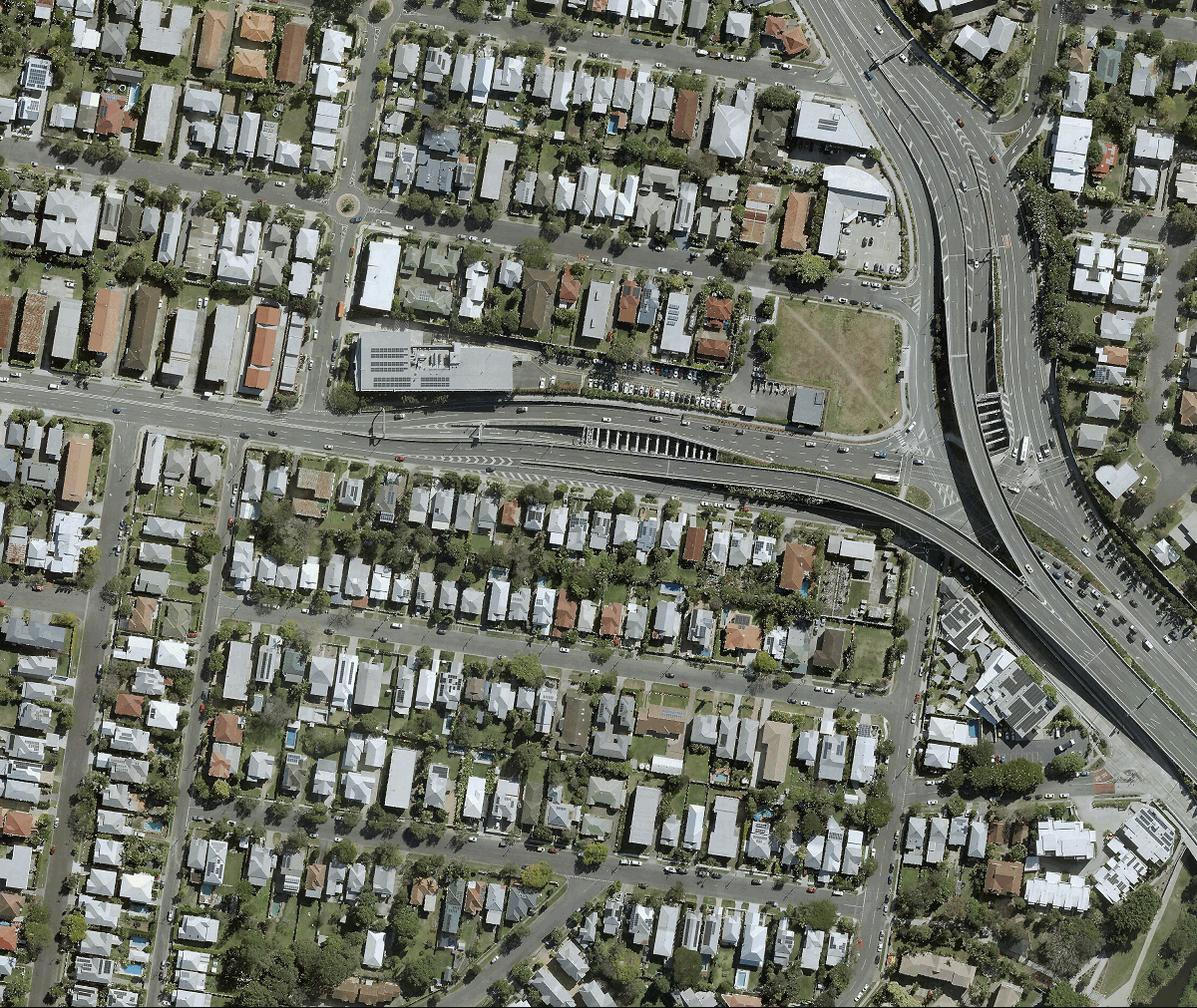
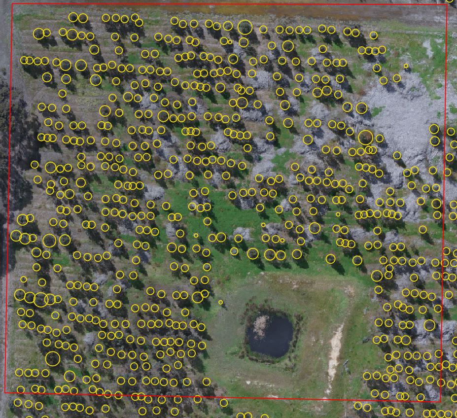
Gain access to tree and turf coverage data derived from the most-to-date aerial images at property and suburb level with quarterly update cycle.
Use our Urban Analytics platform to get notified of property changes, automatically update rates through accurate data, manage compliance effectively.
