Quantify the changing world with current and GIS-ready data
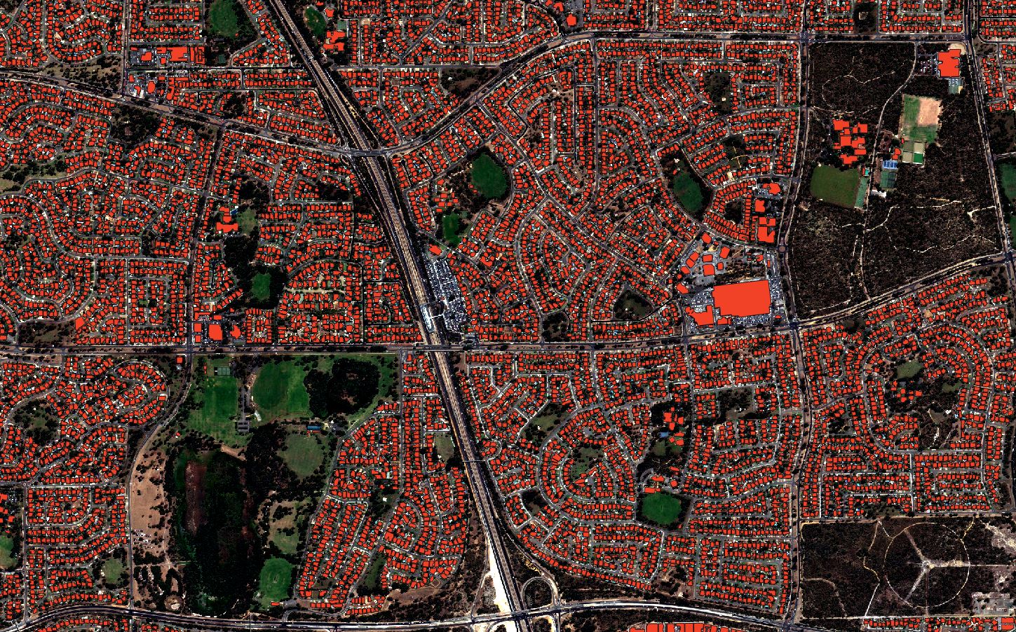
Mapizy AI uses high resolution aerial and satellite images to create highly accurate building footprint data with global coverage. With three months currency, this data is the most up-to-date available when you need it.
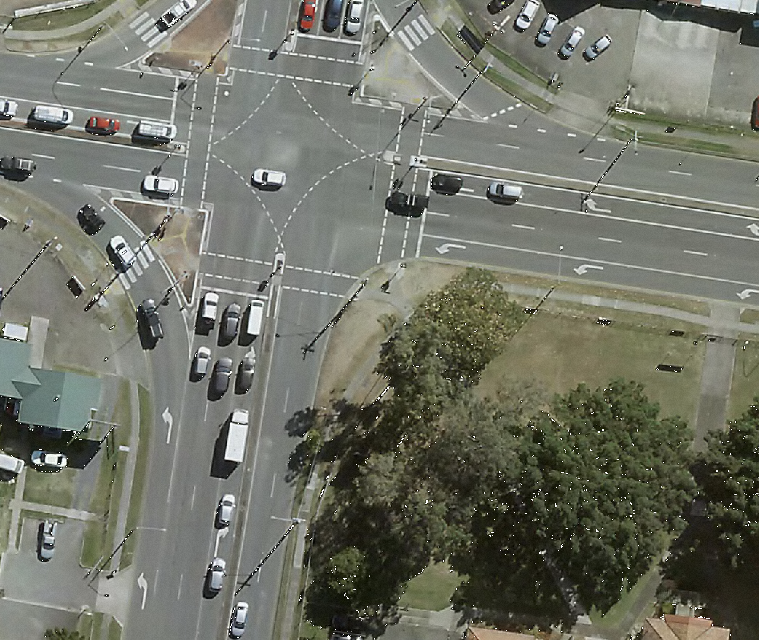
 Move the mouse over the image to see the details
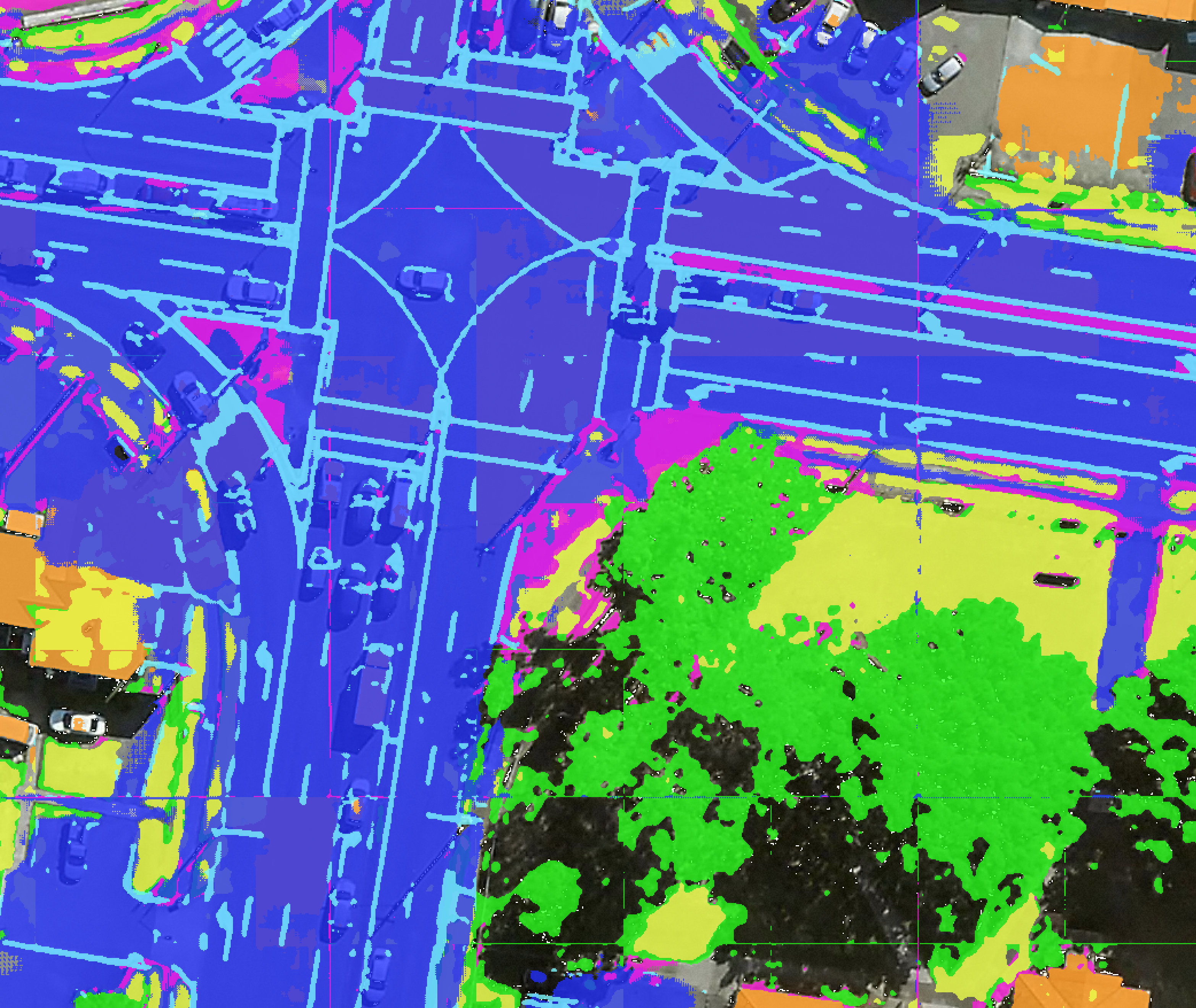
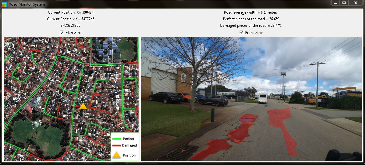
GIS-ready data representing both road surface and safety features are created by our award-winning AI. With regular updates, you can rest assured knowing that our road data is always current.
Get powered with the most current and accurate land cover data with the following layers ready for GIS analysis: